Hemisphere GNSS offers Atlas-capable GNSS receiver for marine applications
March 14, 2018
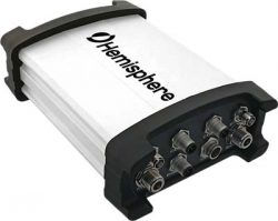
Hemisphere GNSS has introduced the Vector V1000 GNSS receiver for precision marine applications. The V1000 provides high-accuracy heading, […]
Read More
Hemisphere GNSS has introduced the Vector V1000 GNSS receiver for precision marine applications. The V1000 provides high-accuracy heading, […]

Fugro is supporting NF-GEBCO Seabed 2030, a global initiative to produce a definitive, high-resolution bathymetric map of the entire world’s […]
The Bathymetrics Data Portal allows users to search, purchase and automatically download water-depth information directly from an online store […]
TCarta Marine, a global provider of marine geospatial products, will unveil two new offshore data offerings at the […]
TCarta Marine LLC of Denver, Colorado, has merged with Proteus Geo of Oxford, England, to create a global […]
TCarta Marine LLC of Denver, Colorado, has merged with Proteus Geo of Oxford, England, to create a global […]

Fugro’s laser airborne depth sounder (LADS) technology is being deployed in New Zealand to assist in relief efforts […]
CHC has launched its new N72 GNSS series, a high-end sensor designed for GNSS applications including offshore surveys and machine […]


Follow Us