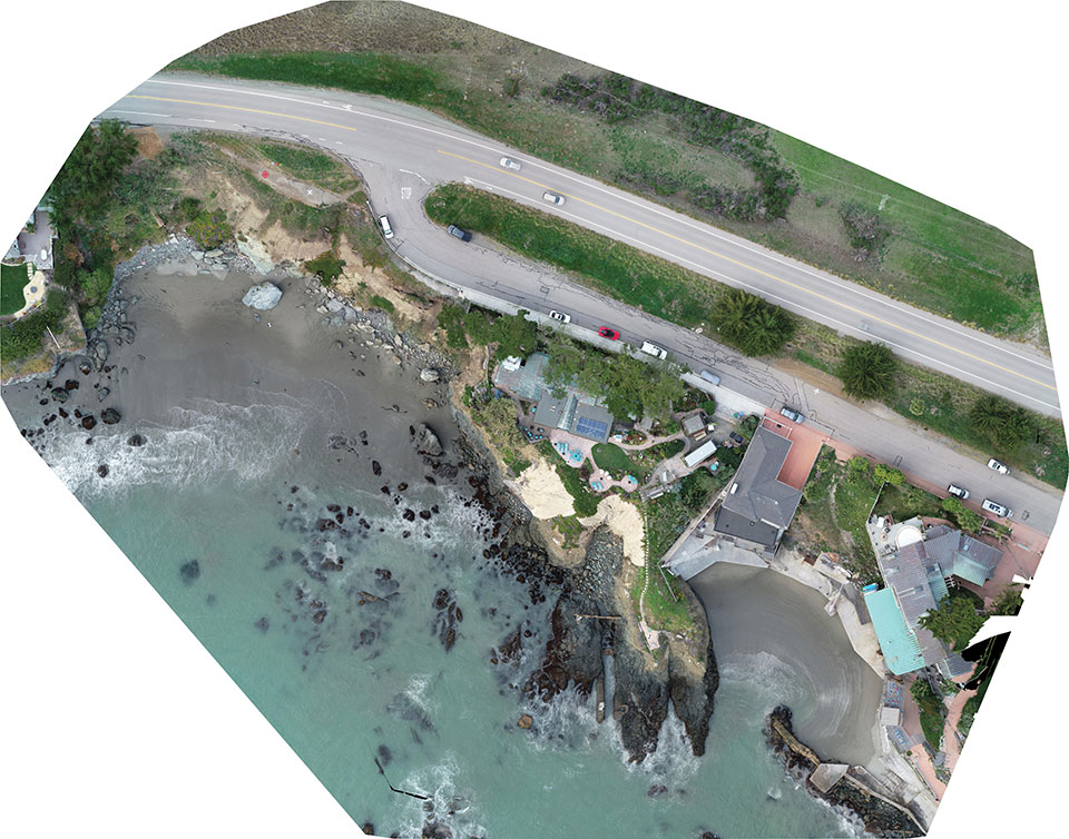
A new angle on mapping cliffs on California’s shore
March 26, 2021
Cliff surveys are traditionally performed with fixed-wing aircraft that collect nadir photos. However, a photogrammetry company accurately triangulated […]
Read More

Cliff surveys are traditionally performed with fixed-wing aircraft that collect nadir photos. However, a photogrammetry company accurately triangulated […]

“Seen & Heard” is a monthly feature of GPS World magazine, traveling the world to capture interesting and […]

“Seen & Heard” is a monthly feature of GPS World magazine, traveling the world to capture interesting and […]

Commercial drone operators in California and Hawaii — as well as a few areas in Nevada, Utah and […]

HxGN SmartNet has partnered with AZGPS LLC to expand access to quality network correction services for GNSS users in the […]

Two fires erupted Monday in Southern California, fueled by strong Santa Ana winds. The Thomas fire in Ventura […]
Using a newly developed computer model called CoSMoS-COAST (Coastal Storm Modeling System – Coastal One-line Assimilated Simulation Tool), scientists […]
Follow Us