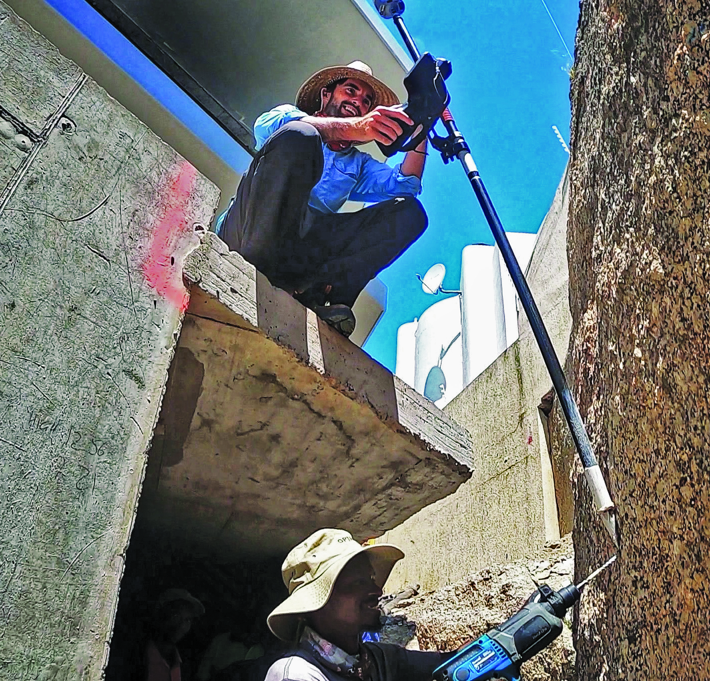
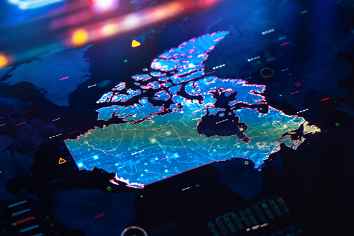
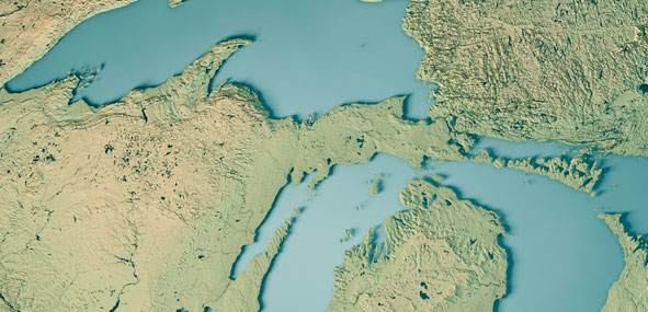
A missing sub and navigation: What happened to the sub searching for the Titanic?
June 21, 2023
The submersible lost contact with the surface vessel about an hour and 45 minutes after the launch and has not been in contact since.
Read More
The submersible lost contact with the surface vessel about an hour and 45 minutes after the launch and has not been in contact since.
NV5 Geospatial has mapped more than 26 million acres of North America’s shoreline and riverine environments across more than 200 projects.
Thales Alenia Space, along with Viettel and MKE, have been selected by Vinamarine to provide Vietnam with a MEOLUT Next ground station.
Sharper Shape has used SimActive software’s distributed processing capabilities to complete utility corridor base maps in Montreal, Canada.
Since the initial instance of an unidentified object floating across U.S. airspace — later identified as a Chinese surveillance balloon — three additional unidentified aerial objects were spotted in North American airspace.
News from CANSPACE Listserv The Canadian Positioning, Navigation and Timing Office (PNTO) is warning stakeholders that Ligado has […]
Canada is leveraging advanced surveillance capabilities to enhance safety and efficiency by implementing a new mandate that will […]
Follow Us