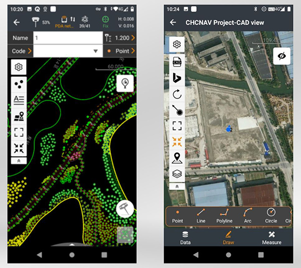
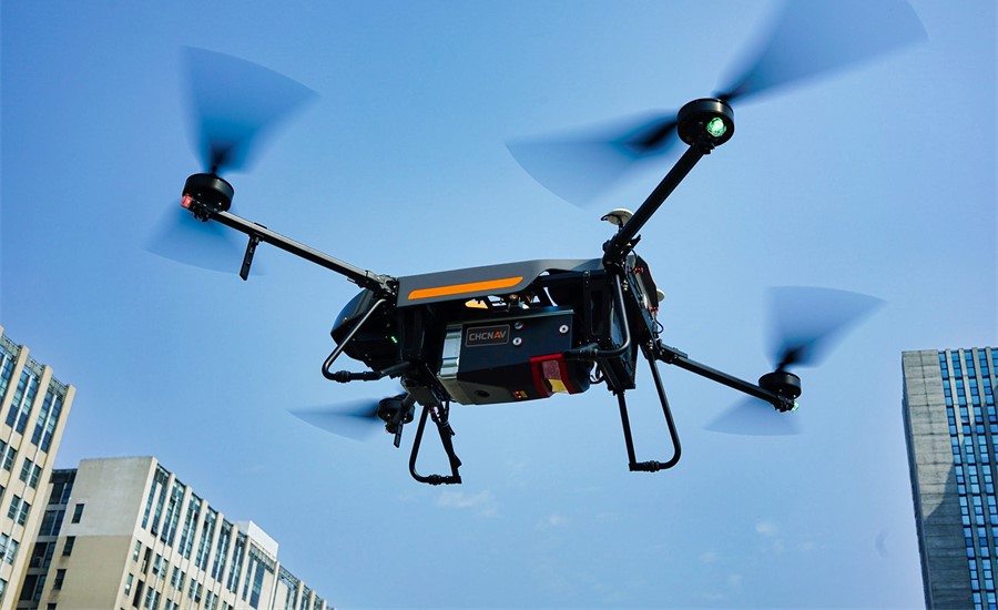
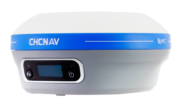
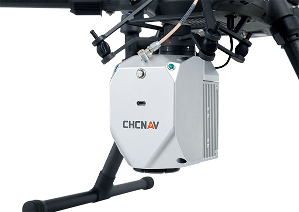
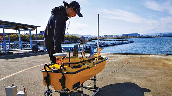
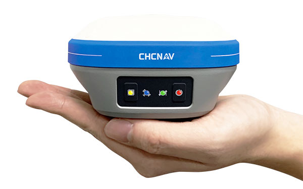
CHCNAV launches aerial surveying solution
October 16, 2023
CHC Navigation (CHCNAV) has released the AlphaAir 10 (AA10), an advanced aerial surveying solution designed for UAV mapping […]
Read More
CHC Navigation (CHCNAV) has released the AlphaAir 10 (AA10), an advanced aerial surveying solution designed for UAV mapping […]
The 29th INTERGEO conference and trade show on geospatial technology and data was held from October 10 to 12 in the German capital Berlin.
CHC Navigation (CHCNAV) released the LT800H, a rugged and versatile RTK GNSS tablet designed for geospatial and mapping operations in the field.
A roundup of recent products in the GNSS and inertial positioning industry from the April 2023 issue of GPS World magazine.
The CHCNAV CGI-610 GNSS/INS sensor is an advanced dual-antenna receiver designed for reliable and accurate navigation and positioning in challenging terrestrial, marine or airborne applications.
CHC Navigation’s mobile mapping solutions, The P330 Pro VTOL UAV and the AlphaAir 450 lidar, are being used for mining exploration in Indonesia.
CHC Navigation has released LandStar8, a field surveying and mapping application for Android devices. LandStar8 is designed to […]
CHC Navigation (CHCNAV) has launched the i73+ pocket-sized GNSS receiver. The i73+ is a compact, powerful and versatile […]
© 2025 North Coast Media LLC, All Rights Reserved.

Follow Us