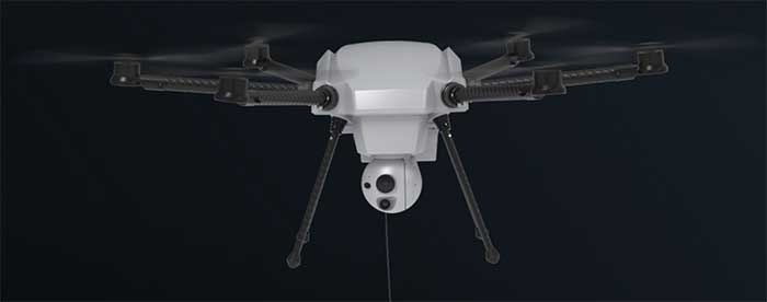
Drone developments: flying into a volcano, tethered drone advantages
November 18, 2020
Just a couple of pieces of drone news this month — who would imagine flying a fixed-wing drone […]
Read More
Just a couple of pieces of drone news this month — who would imagine flying a fixed-wing drone […]

The successful demo consolidates concept designs for a proposed land-sensing ESA Scout mission, HydroGNSS Surrey Satellite Technology Ltd. […]
NASA is partnering with the New Zealand Ministry of Business, Innovation and Employment, New Zealand Space Agency, Air […]

A sonar survey, camera and sensor data of the world’s largest marine sinkhole is shining light on sea […]
TCarta Marine, a global provider of geospatial products and services, has been contracted by the United Kingdom Hydrographic […]

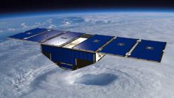
News from the European Space Agency (ESA) Two tiny GNSS-RO nanosatellites now circle the Earth, ready for action. The […]
The entirety of West Antarctica contains enough ice that, if it were to melt, would cause oceans to […]
Esri has launched the Africa GeoPortal, a comprehensive cloud-based platform that provides rich content and solutions from Esri […]


Follow Us