Launchpad: handheld mapping, excavator guidance, cesium clock
September 13, 2022
A roundup of recent products in the GNSS and inertial positioning industry from the September 2022 issue of GPS World magazine.
Read More
A roundup of recent products in the GNSS and inertial positioning industry from the September 2022 issue of GPS World magazine.
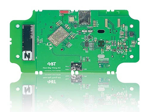
German venture studio Next Big Thing AG (NBT) has launched the Prometheus internet of things (IoT) sensor-based development […]
Geoflex, a geolocation company, won the Jury Award of SPRING 50, a competition of deep tech startups that […]

Aerial mapping company Bluesky is releasing its entire catalog of geographically referenced oblique aerial images of cities in […]

Semtech Corporation, supplier of high-performance analog and mixed-signal semiconductors and advanced algorithms, has launched LoRa Edge, a versatile […]

DroneDeploy, a cloud software platform for commercial drones, is integrating with agX to help growers more easily capture […]
DroneDeploy, a cloud-based drone software platform, is offering a flight logs solution with its partners Airnest, Drone Complier, DroneLogbook, Healthy […]
Airbus Defence and Space has launched One Atlas, a new basemap streaming service delivering access to its satellite […]


Follow Us