January 23, 2017 TerraGo partners with CompassTools on advanced GIS and GPS data collection By GPS World Staff
November 11, 2016 Trimble introduces construction technology for small site and utility contractors By GPS World Staff
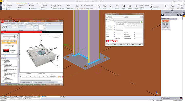
November 8, 2016 Trimble and Hilti deliver integrated solutions for construction professionals By GPS World Staff