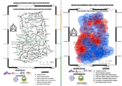
Ghana launches nationwide CORS network exercise
August 20, 2025
Ghana Lands Commission, through its Survey and Mapping Division (SMD), in collaboration with the Licensed Surveyors Association of […]
Read More
Ghana Lands Commission, through its Survey and Mapping Division (SMD), in collaboration with the Licensed Surveyors Association of […]

We highlight upcoming OPUS product changes that NGS will implement following adoption of the modernized NSRS, along with updates to CORS station coordinates resulting from the Multi‑Year CORS Solution 3 (MYCS3).
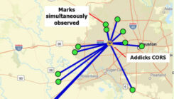
Dan Martin, Northeast Regional Geodetic Advisor for the National Geodetic Survey, hosted a webinar titled “Why OPUS Projects’ Hub Processing Strategy is not a Radial Survey.”
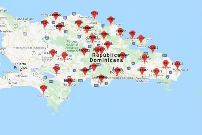
ComNav Technology and FUNDCORSRD have collaborated to establish a comprehensive reference CORS across the Dominican Republic for conducting topographic surveys.
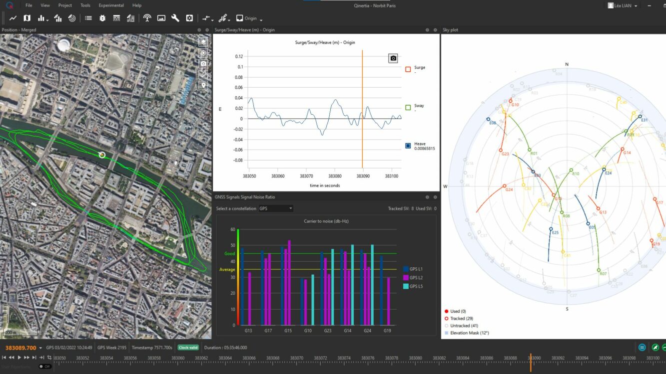
SBG Systems will release the newest version of its Qintertia technology, Qinertia 4. This version introduces several innovative features that provide users with a complete solution for precise trajectory and motion analysis.

I recently received my copy of Surveying and Geomatics Engineering: Principles, Technologies, and Applications in the mail and decided to highlight some sections of the book.

Advances in GNSS technology constantly expand the range of projects that benefit from them.
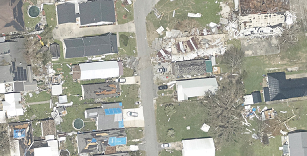
Applanix, a division of Trimble, has been working with the U.S. National Oceanographic and Atmospheric Administration (NOAA) since the early 2000s to develop its response for emergency and coastal mapping activities.


Follow Us