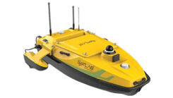
Launchpad: Anti-jamming, underwater topographic surveying, Triple-Band RTK receivers and more
November 25, 2024
A roundup of recent products in the GNSS and inertial positioning industry from the November 2024 issue of GPS World magazine.
Read More
A roundup of recent products in the GNSS and inertial positioning industry from the November 2024 issue of GPS World magazine.
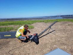
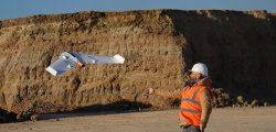
Based in Bristol, AG Surveys has been collecting topographic beach surveys around the country as part of England’s […]
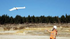
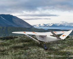
When Trimble sold its Gatewing fixed-wing drone business to Delair in October 2016, its decision was based on […]
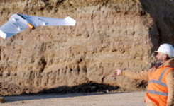
This report covers a number of UAV topics, including the news of another U.S. Federal Aviation Administration (FAA) […]
GNSS receiver manufacturer Septentrio has been selected to supply its high-precision AsteRx-m2 GNSS OEM receiver module and PPK […]
Delair, a supplier of drone solutions for commercial industries, has introduced the next-generation of its high-performance DT26X Lidar UAV. […]

Commercial drone-maker Delair has introduced a professional unmanned aerial vehicle (UAV) for survey-grade photogrammetric mapping. The UX11 is a […]

NASA’s UTM. On May 25, the Federal Aviation Administration (FAA)-designated Nevada UAS Test Site and its NASA partners […]


Follow Us