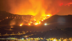
GIS technology plays crucial role in wildfire management and response
February 7, 2025
During times of emergency, geographic information systems (GIS) specialists come together to create real-time mapping tools.
Read More
During times of emergency, geographic information systems (GIS) specialists come together to create real-time mapping tools.

Sikorsky and Rain demonstrated an autonomous Black Hawk helicopter’s capabilities in wildfire suppression.

Trimble has expanded support for The HALO Trust, the world’s largest humanitarian landmine-clearance nonprofit organization.
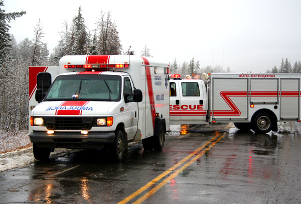
GNSS plays a crucial role in disaster recovery operations. These systems provide essential PNT services critical for search and rescue efforts such as flood monitoring.

The National Oceanic and Atmospheric Administration (NOAA) has entered into a three-year Cooperative Research and Development Agreement (CRADA) with Verizon Frontline to refine the use of uncrewed aircraft systems (UAS) for assessing storm damage.

The Icelandic Road and Coastal Administration (IRCA) has commissioned the Dutch UAV manufacturer Acecore to map the extent and aftermath of the Eldvörp-Svartsengi volcanic system eruption using its high-end UAV solutions.
Hexagon’s Safety, Infrastructure & Geospatial division has partnered with Pitkin County Regional Emergency Dispatch Center to upgrade its digital mapping and response for 911 calls.
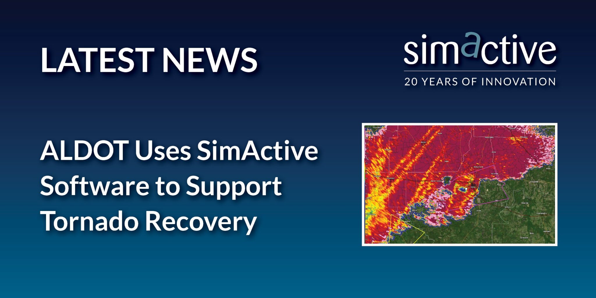
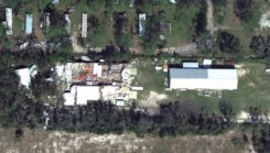
SimActive Inc., a developer of photogrammetry software, and the Alabama Department of Transportation (ALDOT) have partnered to use SimActive’s Correlator3D software to process UAV imagery for damage assessment.


Follow Us