Skyward collaborates with Pix4D mapping and modeling
May 19, 2021
Skyward, a Verizon company, has announced its integration with Pix4D, a photogrammetry software suite for drone mapping. The partnership gives […]
Read More
Skyward, a Verizon company, has announced its integration with Pix4D, a photogrammetry software suite for drone mapping. The partnership gives […]
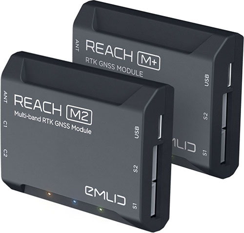
Emlid is offering two positioning modules for mapping with unmanned aerial vehicles (UAVs). Both the Reach M+ and […]
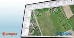
With Wingtra’s latest software release, surveyors and geospatial professionals can now directly import WingtraOne drone data into the […]
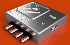
UAV technology developer Skyfish has introduced a computing platform for commercial drones that fully automates crucial infrastructure inspection […]

SimActive Inc., a developer of photogrammetry software, has enabled the first government drone mapping project in South Korea. […]

SenseFly, provider of fixed-wing drones, has launched the eBee X for mapping. The eBee X, part of the […]
I’ve attended five conferences in the past couple of months; Esri Water Conference (first one!), Esri Partner Conference, […]


Follow Us