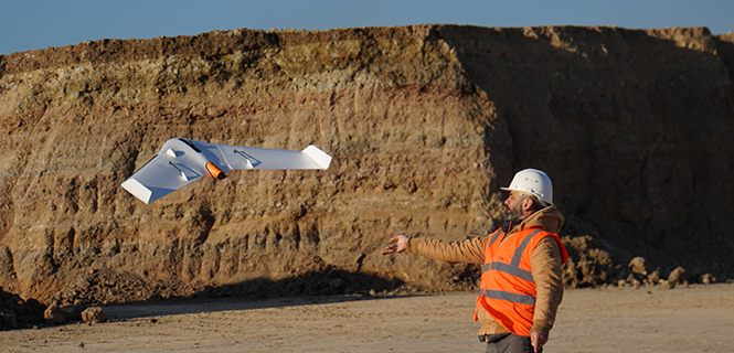
August 2, 2018 Komatsu partners with Propeller on drone analytics for construction By GPS World Staff
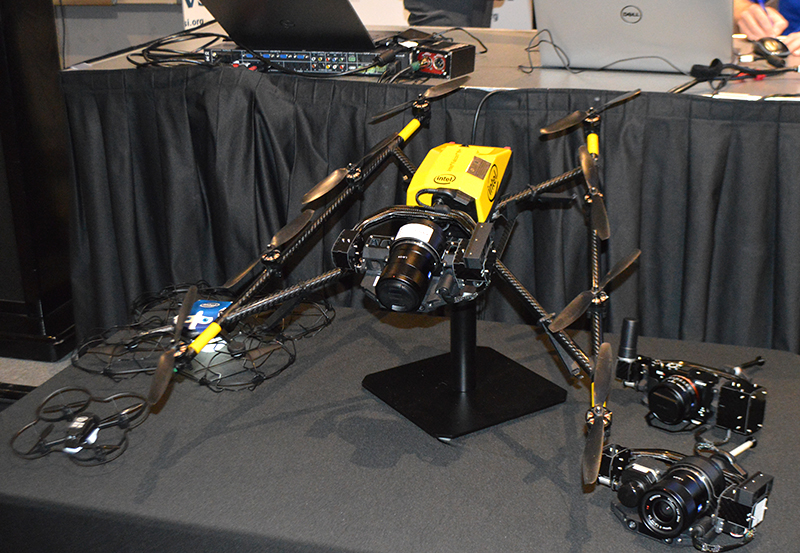
May 3, 2018 Intel shares updates on Insight Platform, drone solutions at Xponential 2018 By Allison Kral