How underground GNSS is revolutionizing rescue operations
July 29, 2025
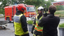
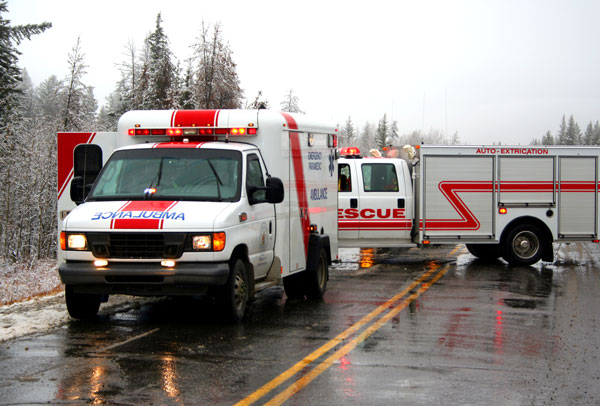
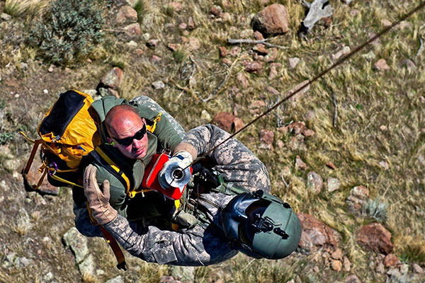
Syntony GNSS, the SDMIS of Lyon and CS-Group have released a demonstration video highlighting how GNSS signal emulation enables real-time tracking of first responders and victims in GPS-denied environments
Read More


Follow Us