
Public-sector provider partners with NextNav for vertical location
August 26, 2022
NextNav is partnering with CentralSquare Technologies, a public-sector technology company, to integrate z-axis vertical location capabilities into its […]
Read More
NextNav is partnering with CentralSquare Technologies, a public-sector technology company, to integrate z-axis vertical location capabilities into its […]
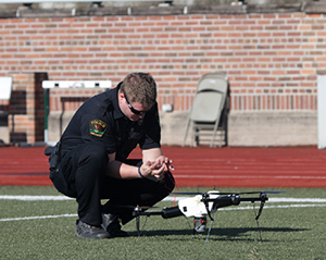
The U.S. Department of Transportation’s Federal Aviation Administration (FAA) has awarded $2.7 million to support research on how […]

“Seen & Heard” is a monthly feature of GPS World magazine, traveling the world to capture interesting and unusual news […]
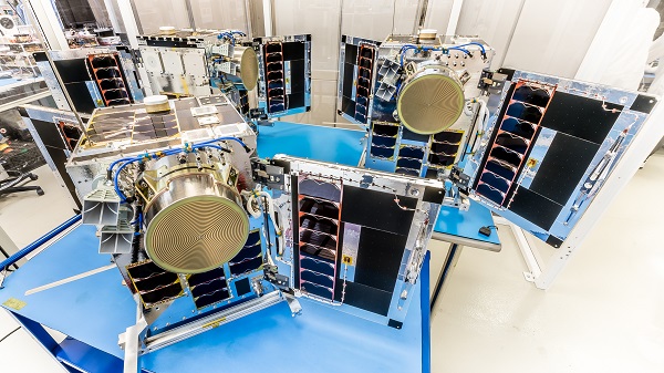
Three HawkEye 360 radio-frequency geolocation microsatellites were launched May 25. The satellites, launched aboard SpaceX Transporter-5 mission, were […]

U.S. cellular carrier AT&T is rolling out location-based routing to automatically transmit wireless 9-1-1 calls to the appropriate […]
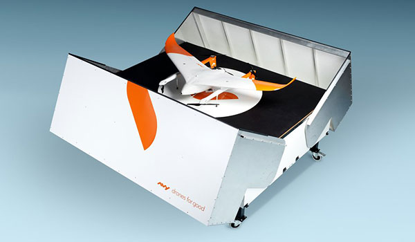
Dutch company Avy has launched its Drone Response Network, combining docking stations with autonomous aircraft that have vertical […]
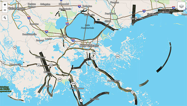
Applanix, a Trimble Company, and the National Oceanic and Atmospheric Administration (NOAA) have collaborated to provide critical information […]
The National Highway Traffic Safety Administration (NHTSA) and Mission Critical Partners (MCP) will collaborate to assess the status […]


Follow Us