Eos Positioning launches two new Arrow+ GNSS receivers
August 13, 2021
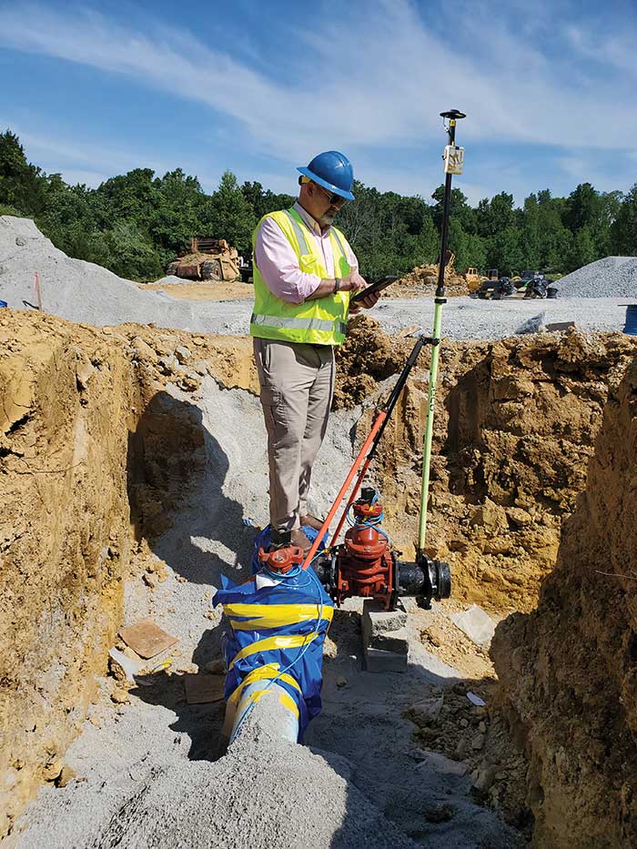
The Arrow Gold+ and Arrow 100+ plus models build upon the company’s highest demand GNSS receivers Eos Positioning […]
Read More

The Arrow Gold+ and Arrow 100+ plus models build upon the company’s highest demand GNSS receivers Eos Positioning […]

Across North America, the use of high-accuracy GNSS technology has proliferated among water and wastewater service providers. Water […]

Eos Locate for Collector for ArcGIS underground mapping is now compatible with three Subsite Electronics products. Introduced in […]

Eos Positioning Systems — manufacturer of Arrow Series GNSS receivers — has released Eos Tools Pro for Windows […]
Follow Us