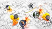
October 23, 2025 A new generation in real-time situational awareness By Mark Myslinski and John Contestabile
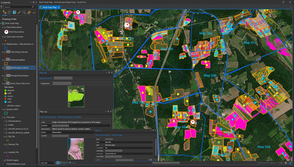
June 13, 2024 Seeds of change: Ernst Seeds uses data-driven approach to restore habitats By Josiah Dallman
February 22, 2023 Minnesota company develops new system for mapping underground utilities By Matteo Luccio