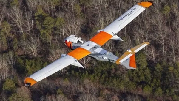
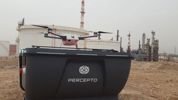
November 28, 2023 Percepto granted FAA approval for fully autonomous fleet inspections By Jesse Khalil
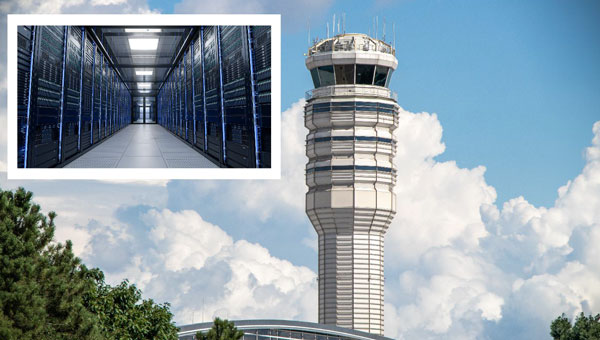
November 21, 2023 FAA panel calls for ‘urgent action’ after near-misses at US airports By Jesse Khalil