INTERGEO 2015
July 1, 2015
INTERGEO 2015, to be held Sept. 15-17 in Stuttgart, Germany, is the world’s leading conference trade fair for […]
Read More

INTERGEO 2015, to be held Sept. 15-17 in Stuttgart, Germany, is the world’s leading conference trade fair for […]

GeoLearn, a company focused on serving the geospatial industry with video-based online learning and continuing education credits, has […]

The National Geodetic Survey is seeking applicants for a geodesist (real-time kinematic network) with the Spatial Reference System Division. Applications are being […]

20 Years of INTERGEOThe world’s leading conference trade fair for geodesy, geoinformation and land management celebrates its 20th anniversary in the German capital.

By James J. Miller and John LaBrecque, NASA Headquarters, and A.J. Oria, Overlook Systems Technologies, Inc. Satellite laser […]

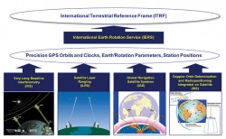
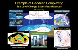
Geodesy is a suite of powerful Earth-observation techniques, associated methodologies, and analysis tools that today are making a vital contribution to science and society. Yet geodesy is not a new, child-of-technology sciaence. It dates back hundreds of years — some would claim thousands of years, and that the ancient Greeks and other pre-Christian cultures shaped its direction. This is illustrated by its classical definition as the science of measuring and mapping the geometry, orientation in space, and gravity field of the Earth; these days we also include their variations over time. At a practical level, geodetic practice forms the foundation for surveying, navigation, and mapping, and the digital datasets underpinning these activities.
Follow Us