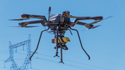
Launchpad: Adjustable drones, mobile mapping camera
July 21, 2022
A roundup of recent products in the GNSS and inertial positioning industry from the July 2022 issue of GPS World magazine.
Read More
A roundup of recent products in the GNSS and inertial positioning industry from the July 2022 issue of GPS World magazine.
Combined geospatial solutions improve operations using location intelligence and mapping Locana and Bent Ear Solutions are collaborating to […]
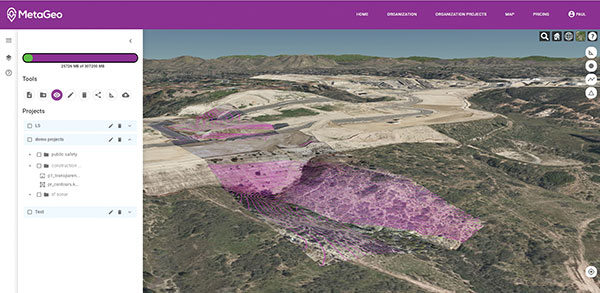
MetaGeo has launched a geographic information system (GIS) platform to enable organizations of all sizes to host, analyze, […]
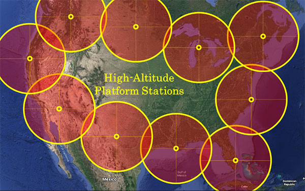
“We’re at 103,000 feet. As you look up the sky looks beautiful but hostile. …Can see for over […]

Trimble has launched the Trimble DA2 GNSS receiver for the Trimble Catalyst positioning service. The DA2 — the […]

Aerial imagery company Nearmap is partnering with Geographic Technologies Group (GTG), which helps local government agencies throughout the […]

The world of mathematics has always been a mysterious one. It is universally loved by those who enjoy […]
By Akshita Pacholi Allied Market Research With advantages provided by geographic information systems (GIS), the demand for GIS in […]


Follow Us