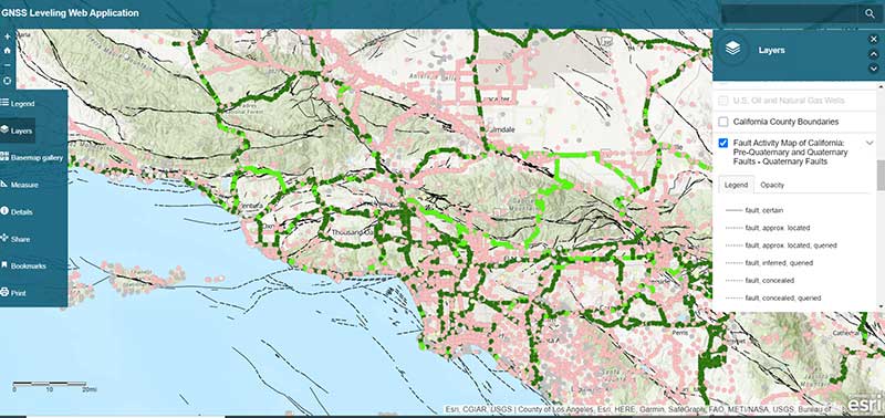
ArcGIS web app incorporates datasets, NGS data layers for surveyors
December 2, 2020
My last column described a new National Geodetic Survey (NGS) webtool for obtaining geodetic information about a passive […]
Read More
My last column described a new National Geodetic Survey (NGS) webtool for obtaining geodetic information about a passive […]
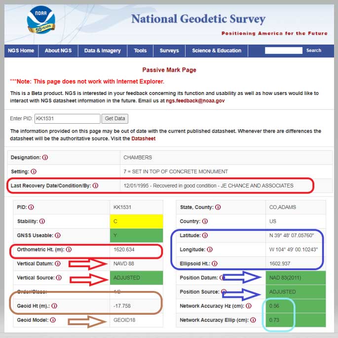
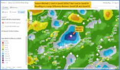
NGS has developed a new beta tool for obtaining geodetic information about a passive mark in their database. […]
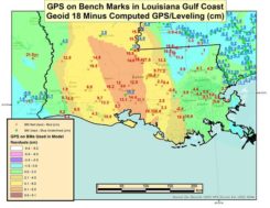
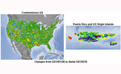
My February 2020 column provided an analysis of the differences between the latest published hybrid Geoid18 values provided […]
My last column, December 2019, highlighted the National Geodetic Survey’s (NGS) new Geoid Monitoring Service (GeMS); and, that […]
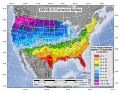
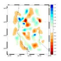
This column discusses the results of the National Geodetic Survey (NGS) beta hybrid Geoid18 model and the differences […]
My last column discussed the preliminary results of NGS’ second Multi-Year CORS Beta Solution of the National CORS. […]
On Aug. 10, the National Geodetic Survey (NGS) released its latest experimental geoid model, xGeoid18. In early 2019, […]

The number of GPS on Bench Mark (BM) stations highlighted as complete on the National Geodetic Survey (NGS) […]


Follow Us