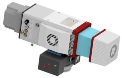
Riegl launches lightweight airborne lidar for UAVs
October 11, 2019
The Riegl miniVUX-2UAV is a lightweight airborne laser scanner designed specifically for integration with unmanned aerial vehicles and […]
Read More

The Riegl miniVUX-2UAV is a lightweight airborne laser scanner designed specifically for integration with unmanned aerial vehicles and […]

The GPS World staff reported live from Intergeo Sept. 17-19 in Stuttgart, Germany. The massive trade show, dubbed […]
Read the first part of this series: The story of GIS at DHS: From Manhattan to Katrina. The Geospatial […]

Hexagon’s Geospatial Division launched M.App Enterprise 2019 at its user conference, HxGN LIVE 2019. The latest version of M.App […]

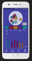
Global GNSS, a subsidiary of Polosoft Technologies, has launched a new mobile application named GNSS Surveyor, which is […]
Includes first draft of best practices for implementing GIS in elections. The National States Geographic Information Council (NSGIC) […]
Extensis and LizardTech are uniting as one global company to help organizations increase their return on investment and […]
Follow Us