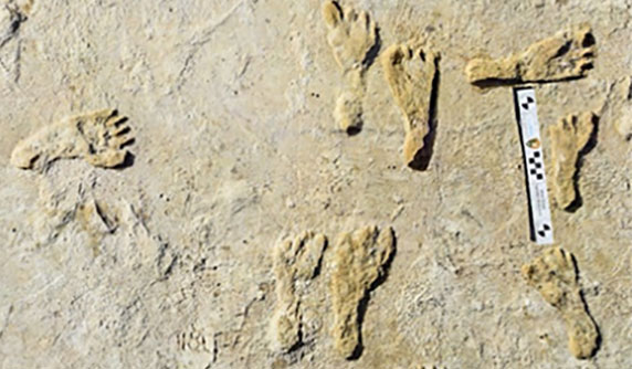
GIS helps archaeologists trace a mother’s journey
November 24, 2021
“The tasks of paleontologists and classical historians and archaeologists are remarkably similar — to excavate, decipher and bring […]
Read More
Real-time threat intelligence systems are looking for data signals that might indicate the next huge event.
Geospatial data is key to logistics, including for the huge increase in e-commerce we are experiencing following the […]

Aerial imagery company Nearmap is partnering with Geographic Technologies Group (GTG), which helps local government agencies throughout the […]

Hexagon’s Geospatial division has launched M.App Enterprise 2021, a significant update to its platform for creating geospatial and […]

Aerial mapping company Bluesky is releasing its entire catalog of geographically referenced oblique aerial images of cities in […]
Follow Us