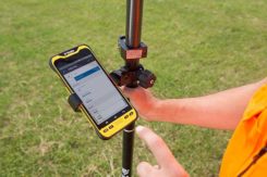
MGISS and vGIS take a geospatial view of augmented reality
January 21, 2020
The development of augmented reality as a tool to manage and visualize hidden infrastructure assets has taken a […]
Read More
The development of augmented reality as a tool to manage and visualize hidden infrastructure assets has taken a […]

The Library of Congress will celebrate GIS (Geographic Information Science) Day on Nov. 13. GIS Day, which is […]

TerraFlex users can now synchronize data directly to their on-premise Esri geographic information system without cloud services. The […]

Bentley Systems will be focusing on smart cities, specifically digital twins for digitally advanced smart cities and other […]

Government agencies are increasingly turning to high-precision aerial imagery to solve city-planning conundrums. Three recent case studies show […]

An electric cooperative that serves more than 33,000 member customers in Lakeside, Arizona — including the White Mountain […]

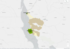
In collaboration with Esri and Blue Raster, the Jane Goodall Institute (JGI) released a StoryMap that highlights Jane […]
Follow Us