October 17, 2025 Researchers demonstrate centimeter-level positioning using smartwatches By Tracy Cozzens
May 27, 2025 Seen & Heard: Google’s scammer takedown, Harvard’s free navigation history course and more By Jesse Khalil
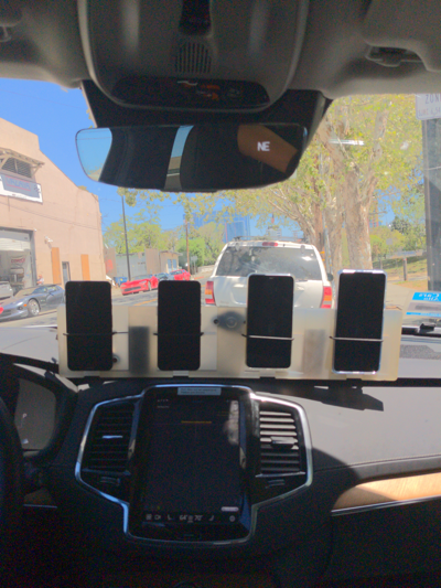
October 6, 2022 Smart ways to improve smartphone location accuracy By Frank Van Diggelen, Mohammed Khider, Michael Fu, and Matteo Luccio
September 21, 2022 Testing positioning algorithms with Kaggle By Mohammed Khider, Michael Fu, and Frank Van Diggelen