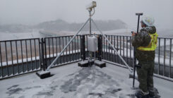
From grading to mapping: Surveyors tie dirt to data
January 13, 2025
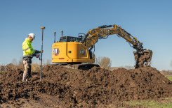
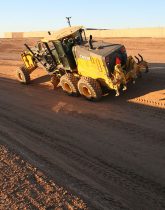
GNSS machine control is widely used on excavators, graders and dozers. It allows precise earthmoving and grading with minimal manual input from operators.
Read More
GNSS machine control is widely used on excavators, graders and dozers. It allows precise earthmoving and grading with minimal manual input from operators.
Topcon Positioning Group has announced a new option for Caterpillar Next Gen excavator users to leverage Topcon 3D […]
Noel Guevara, president and owner of JAG Construction, considers it an honor to have been involved in a […]


Follow Us