Skip to content

TAG: infrastructure

Photo: Trimble

Trimble acquires B2W Software to expand civil construction portfolio

September 15, 2022

1

AEC firms use aerial mapping to share infrastructure funding

March 10, 2022

2
NetInsight logo

Net Insight partners with Meinberg on time synchronization solutions

March 8, 2022

3
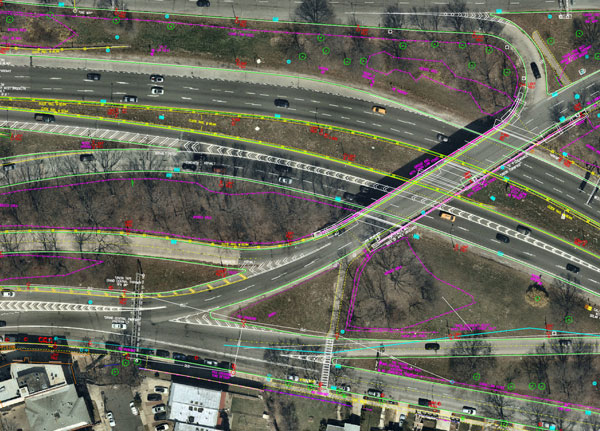
Nearmap aerial imagery is used as a basis for survey linework. Photo: Nearmap

AEC firms use aerial mapping to share in infrastructure funding

February 25, 2022

4
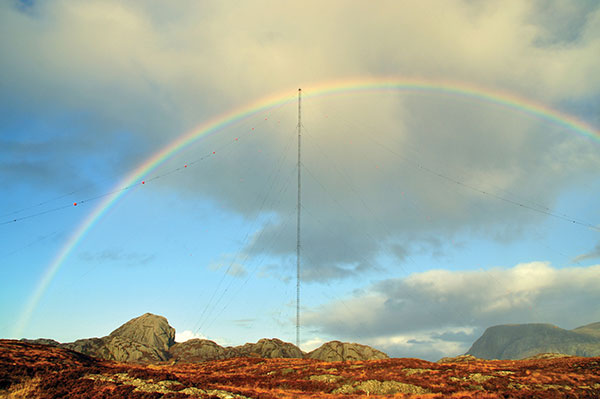
the former Loran-C transmission antenna at Værlandet, Norway. (Photo: UrsaNav)

10 questions on eLoran

January 21, 2022

5
Photo: AnnaFrajtova/iStock / Getty Images Plus/Getty Images

The surveyor and augmented reality – ready for the future

September 1, 2021

6

HEAD Aerospace satellite imagery now on UP42 marketplace

July 16, 2021

7
Photo: tomazl/E+/Getty Images

ESA, public safety organization agree to support navigation services

April 14, 2021

8