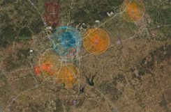
Skyward collaborates with Pix4D mapping and modeling
May 19, 2021
Skyward, a Verizon company, has announced its integration with Pix4D, a photogrammetry software suite for drone mapping. The partnership gives […]
Read More
Skyward, a Verizon company, has announced its integration with Pix4D, a photogrammetry software suite for drone mapping. The partnership gives […]

The U.S. Federal Aviation Administration (FAA) has made it easier for drone pilots to quickly and safely access […]

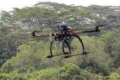
Skyward has updated its InFlight mobile ground control system app. It now offers operation planning and mobile LAANC […]
The drone operations management platform provides information on 3D vertical structures and obstacles, and access to digital airspace, […]
More than 100 control towers and airports have been added to the hundreds of Federal Aviation Administration (FAA) […]

The Federal Aviation Administration’s (FAA) nationwide deployment of the Low Altitude Authorization and Notification Capability (LAANC) has exceeded […]
FAA also warns about drones interfering with public safety. The Federal Aviation Administration (FAA) has announced nine new […]


Follow Us