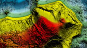
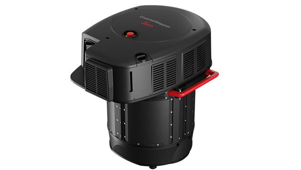
October 14, 2025 NV5 to deploy Hexagon’s Leica CoastalMapper bathymetric lidar system By Jesse Khalil
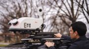
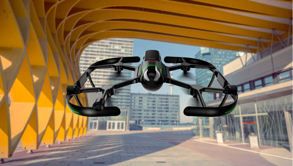
March 20, 2025 Launchpad: Surveying and mapping solutions, latest OEM innovations and more By Jesse Khalil
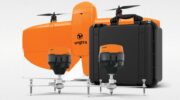
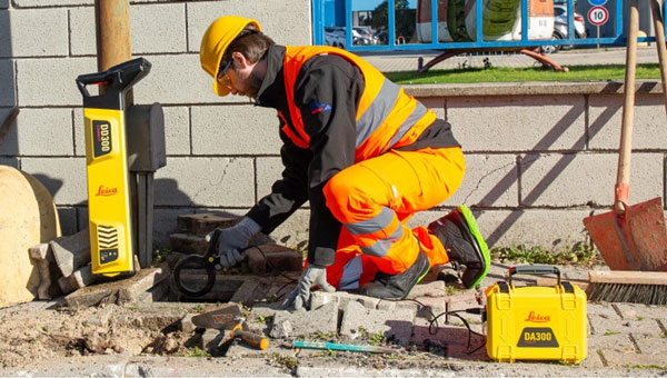
December 16, 2024 Launchpad: New surveying and mapping products, MEMS sensors and more By Jesse Khalil
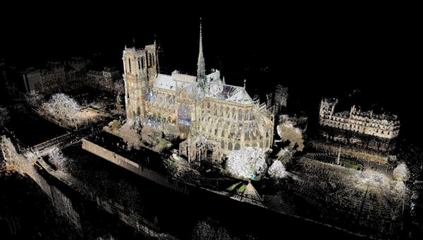
December 4, 2024 Notre Dame Cathedral reopens: 3D mapping guides historic restoration By Jesse Khalil
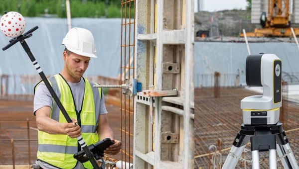
September 19, 2024 Leica Geosystems unveils AI-powered solution for construction layout By Jesse Khalil