June 15, 2023 Leica Geosystems releases hybrid imaging and lidar sensor for airborne mapping By Maddie Saines
March 14, 2023 Guide, Assist, Automate: Why GNSS remains a key element for most construction automation applications By Gavin Schrock
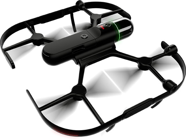
November 15, 2022 Hexagon’s Leica BLK2FLY named one of TIME’s Best Inventions of 2022 By Tracy Cozzens