Leica Geosystems launches one app for terrestrial laser scanning portfolio
December 17, 2020
Leica Geosystems has extended its Leica Cyclone FIELD 360 mobile-device app to all Leica Geosystems 3D terrestrial laser […]
Read More
Leica Geosystems has extended its Leica Cyclone FIELD 360 mobile-device app to all Leica Geosystems 3D terrestrial laser […]

Pointfuse and Leica Geosystems, a Hexagon company, have established a global cooperation and entered into a development agreement. […]

A European megaproject is relying on GNSS to guide supportive earthworks during construction. The Fehmarn Belt Fixed Link […]

The new Nova MS60 MultiStation combines upgraded, faster 3D laser-scanning capabilities, GNSS connectivity and digital imaging with a […]

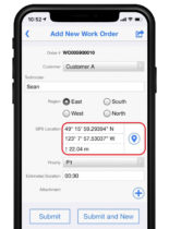
Flowfinity Wireless Inc. has released new functionality that allows field users to collect highly precise GNSS location data […]

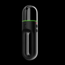
Hexagon AB has introduced two new additions to its Leica BLK series. The Leica BLK2GO is a small, […]
Aerial survey company Bluesky International Ltd. is using the Leica CityMapper to capture major cities throughout the United Kingdom.

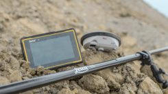
Leica Geosystems has selected Getac’s fully rugged ZX70 Android tablet for the new Leica Zeno GG04 Plus Tablet package, designed […]
Follow Us