October 3, 2014 Icaros to Unveil Versatile Nadir/Oblique Aerial Mapping System at InterGeo By Tracy Cozzens
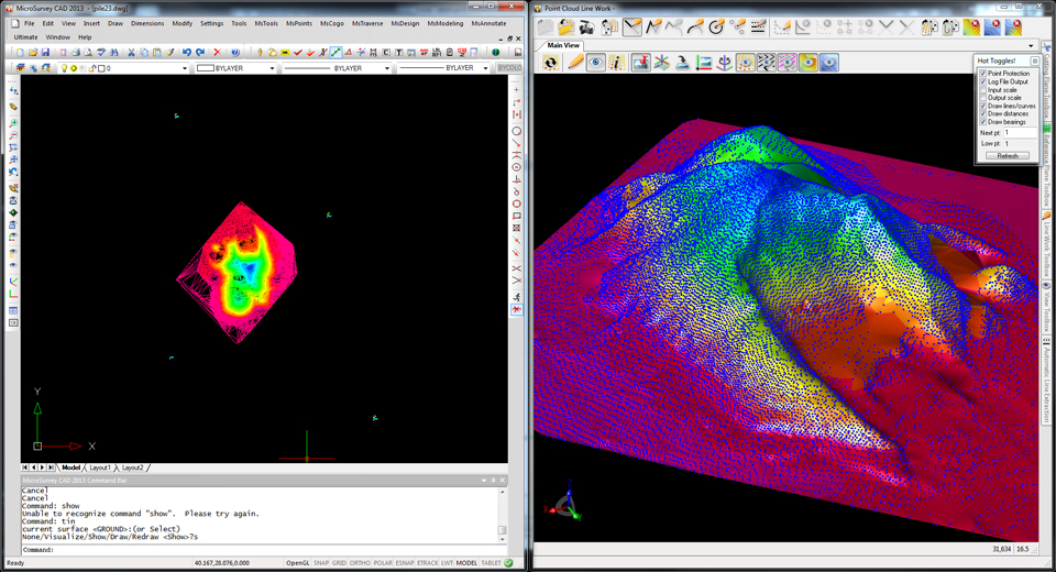
June 12, 2013 Microsurvey Introduces Three Software Versions for the Leica Nova MS-50 By Eric Gakstatter