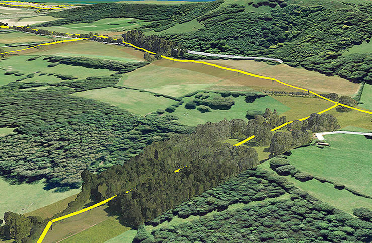
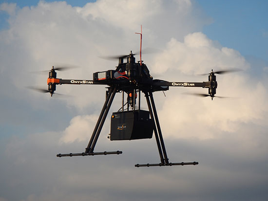
Skip to content

TAG: lidar

Fugro's LADS technology is being deployed following the Nov. 14 New Zealand earthquake.

Fugro’s airborne tech surveying after New Zealand earthquake

December 8, 2016

photo: geodetics

Geodetics introduces mobile mapping system with lidar, GPS

September 22, 2016

This article is tagged with , , , , and posted in Latest News, Mapping, Product Showcase, UAV/UGV
photo: GNSS

GNSS, radars assist in all-weather vehicle positioning

September 6, 2016

This article is tagged with , , , , and posted in GNSS, Opinions, Transportation
Image: GPS World

Connected Car: Cutting edge research aimed at implementing connected car and driverless car technology

June 17, 2016

This article is tagged with , , , , , and posted in Webinar Archive
Image: GPS World

Lidar drone market will be worth US$144.6 million by 2022

May 27, 2016

This article is tagged with , , , and posted in GIS News, Lidar, Mapping, Technology, UAS/UAV
Image: GPS World

Geodetics gives inertial navigation product overview at AUVSI’s Xponential 2016

May 13, 2016

Image: GPS World

Quanergy announces new lidar sensor at Xponential

May 2, 2016

This article is tagged with , , , , , , , , and posted in GIS News, Imagery, Lidar, Mapping, Technology, UAS/UAV
Image: GPS World

Fugro awarded contract to provide hydrographic surveys in Canada

April 25, 2016