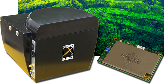
Skip to content

TAG: lidar

The Hanseatic S360 has a wingspan of 3.6 meters and can carry a 6-kg payload.

Routescene maiden flight pushes boundaries

November 17, 2015

This article is tagged with , , , , , , and posted in Featured Stories
Image: GPS World

Blue Marble Offers Lidar Module Upgrade

October 22, 2015

This article is tagged with , , and posted in GIS News, GIS Software, Lidar, Technology
Photo: Bluesky

Bluesky Completes Aerial Mapping Project for UK Utilities

October 8, 2015

This article is tagged with , , , , , , , and posted in Latest News, Mapping, Survey
Image: GPS World

New Esri Book Guides Use of Lidar

October 7, 2015

This article is tagged with , , and posted in GIS News, Imagery, Lidar, Technology
Image: GPS World

New TIMMS 2 a Maneuverable Indoor Mapper

September 29, 2015

Image: GPS World

Mobile Surveying Solutions from Teledyne Optech Shown at INTERGEO 2015

September 9, 2015

This article is tagged with , , , , and posted in GIS News, Lidar, Mobile Devices, Technology
The iMS 3D indoor mapping system by Viametris uses an Ellipse-A by SBG for stability.

SBG, Viametris Present 3D Indoor Scanning System at INTERGEO

September 8, 2015

This article is tagged with , , , , and posted in Latest News, Product Showcase, Survey
A UAV carries the YellowScan lidar.

YellowScan Lidar for UAVs Aided by Inertial Nav, GPS RTK

September 4, 2015

This article is tagged with , , , , , , , and posted in Latest News, OEM, UAV/UGV