May 24, 2022 Unmanned and Autonomous Systems for Utilities and Energy conference to be held virtually and in person By Marie Emerick
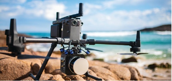
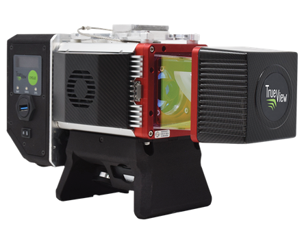
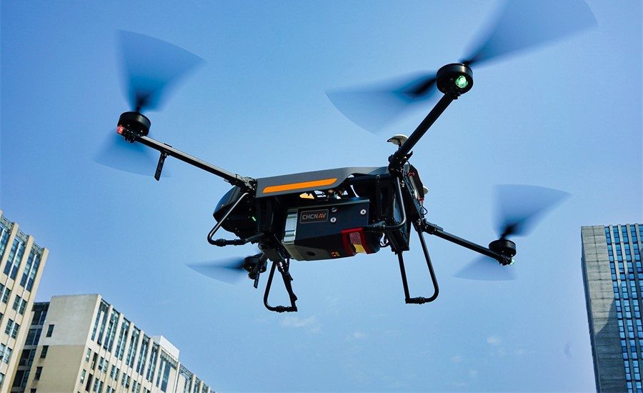
April 12, 2022 CHC Navigation introduces AlphaAir 1400 and AlphaAir 2400 airborne lidar series By Tracy Cozzens