
The drive to autonomy: Companies gear up with sensors, strategies
January 5, 2021
For the past decade, widespread deployment of autonomous vehicles (AV) has been just over the horizon — that […]
Read More
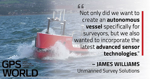
U.K.-based Unmanned Survey Solutions (USS) has created a unique unmanned surface vessel called the Accession Class USV. It’s […]
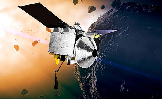
NASA took on a Herculean precision positioning task that culminated Oct. 20 with a spacecraft sampling the surface […]
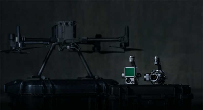
DJI has debuted two payload solutions for its flagship commercial drone platform Matrice 300 RTK: the DJI Zenmuse […]
Application empowers users with expert visualization and analysis of lidar Enview, a pioneer in the scalable processing of […]
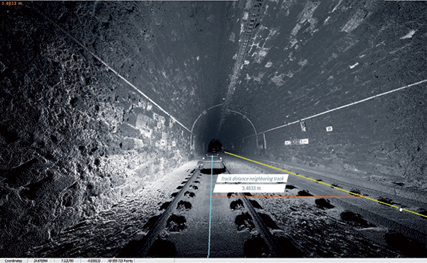
Innovate UK, the United Kingdom’s innovation agency, has selected Hexagon’s Geospatial division to conduct a research project that […]
Follow Us