June 18, 2018 OGC calls for proposals for Indoor Mapping and Navigation Pilot Initiative By Allison Kral
April 30, 2018 Sharper Shape introduces multi-sensor payload for manned helicopters By GPS World Staff
April 17, 2018 LizardTech to launch GeoExpress 10 with expanded lidar functionality at GEOINT 2018 By Tracy Cozzens
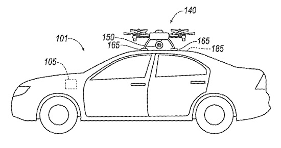
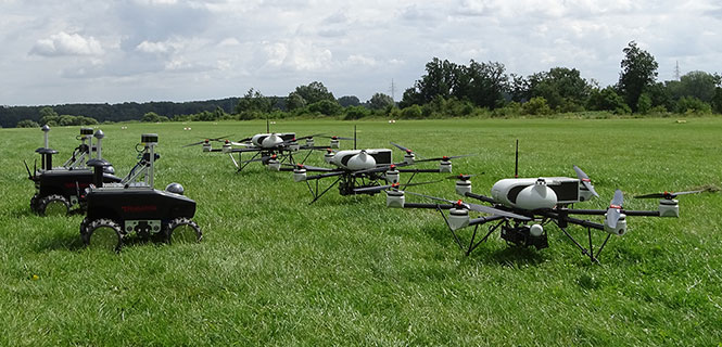
April 9, 2018 Teaming ground and air vehicles for an autonomous multi-sensor survey By Simon Batzdorfer, Markus Bobbe, Martin Becker, and Ulf Bestmann