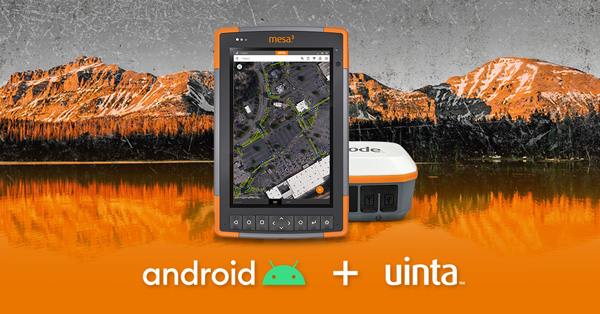
Launchpad: digital FOG, wind prediction, drone tracker
April 28, 2022
A roundup of recent products in the GNSS and inertial positioning industry from the April 2022 issue of GPS World magazine.
Read More
A roundup of recent products in the GNSS and inertial positioning industry from the April 2022 issue of GPS World magazine.

A roundup of recent products in the GNSS and inertial positioning industry from the February 2022 issue of GPS World magazine.

1Spatial has extended the capability of its survey application 1Edit, increasing support for photos and 2.5D data. 1Edit […]
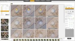
SimActive has launched version 8.5 of its Correlator3D mapping software. According to the company, this new version users […]
Communities in need of resources can access location intelligence technology at no cost with six-month trial Location intelligence […]
The latest software release for the SLAM-based NavVis M6 Indoor Mobile Mapping System (IMMS) automatically detects and removes point cloud […]
Datumate, a photogrammetry solution and 3D mapping software developer, has released its updated DatuSurvey 5.5 software, which offers […]
Caliper has lunched a 2018 DACH Country Package for its Maptitude mapping software. According to the company, Maptitude […]


Follow Us