December 27, 2015 Aerial mapping of Macchu Pichu: Drone helps preserve archaeological treasure By Tracy Cozzens
December 22, 2015 GPS artist creates global message of peace on Earth By GPS World Staff and Joelle Harms
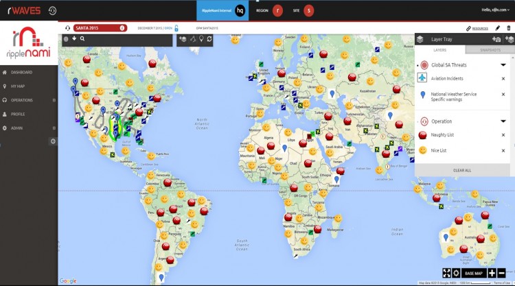
December 21, 2015 New mapping technology helps Santa deliver toys more efficiently By GPS World Staff