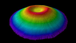
First all-Canadian Antarctic expedition creates underwater maps using GNSS technology
May 8, 2025
Canadian scientists recently led their first Antarctic research expedition, using Arrow Gold+ GNSS technology.
Read More

Canadian scientists recently led their first Antarctic research expedition, using Arrow Gold+ GNSS technology.

Sharper Shape has used SimActive software’s distributed processing capabilities to complete utility corridor base maps in Montreal, Canada.

Canada is leveraging advanced surveillance capabilities to enhance safety and efficiency by implementing a new mandate that will […]

Tandem Expansion Fund, a Canadian growth-equity investor, has acquired a majority interest in Averna, a developer of test […]
Follow Us