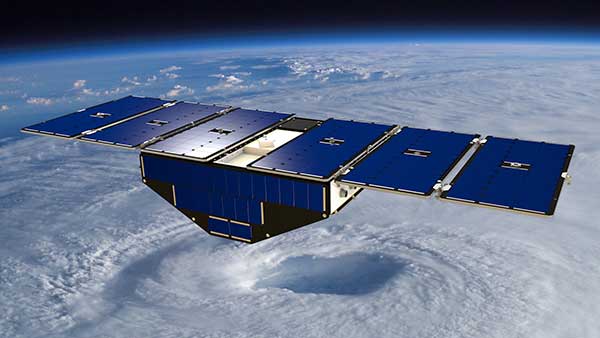
December 15, 2016 NASA launches micro satellites with GNSS receivers for remote weather sensing By GPS World Staff
October 25, 2016 NASA tests solar-powered Silent Falcon UAS for large-scale operations By GPS World Staff
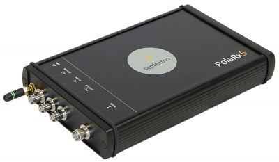
September 14, 2016 Septentrio to supply GNSS reference stations, timing receivers to JPL By GPS World Staff
February 29, 2016 NASA helps maintain International Terrestrial Reference Frame with GNSS By GPS World Staff