TAG: National Geodetic Survey

Photo:

TRB ADK70 Standing Committee on Geospatial Data Acquisition Technologies summer meeting

August 7, 2024

This article is tagged with , and posted in Featured Stories, Latest News, Survey
Photo: SonjaBK / iStock / Getty Images Plus / Getty Images

NGS new alpha preliminary products in support of the modernized NSRS

July 2, 2024

Image: NOAA CORS

NGS beta version of a new NOAA CORS Network station web page

June 5, 2024

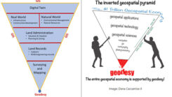
Photo: Dana Caccamise II

MSU developing CORS dashboard and geodetic program

May 1, 2024

Figure 1: Utility access box installed over CORS reference mark Whitefish Pt A (NGS PID AA8050) at USCG lighthouse. (Photo: Jeff Olsen)

In the Field: Help survey monuments complement GNSS

February 27, 2024

This article is tagged with and posted in From the Magazine, Latest News, Mapping, Survey
Plot of earthquakes north of Oklahoma City. (Image: USGS website)

OSU grant proposal includes developing time-dependent models for the new, modernized NSRS

February 7, 2024

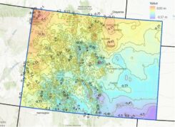
Overlay of completed and status of benchmarks in Colorado. (Image: NGS website)

Time is running out to submit GNSS or leveling data for initial NSRS modernization

January 3, 2024

Longstone Lighthouse is situated on the Outer Farne Islands on the Northumberland Coast in Northern England. (Photo: ad_foto/iStock/Getty Images Plus/Getty Images)

Lighthouses on land and in the sky

December 11, 2023