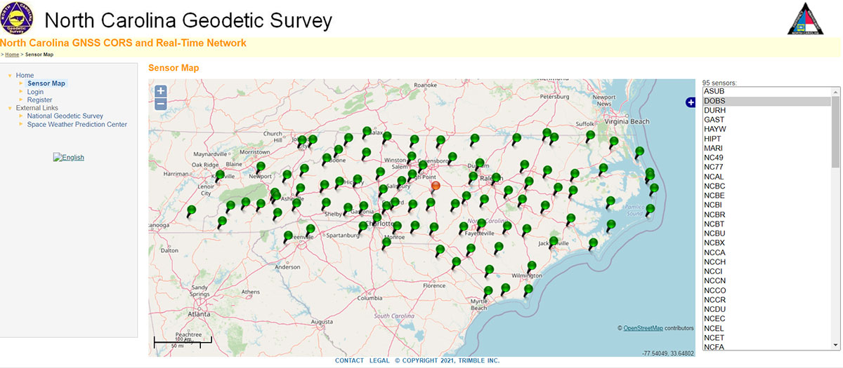
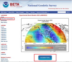
What will the data delivery system of the modernized 2022 NSRS look like?
August 3, 2022
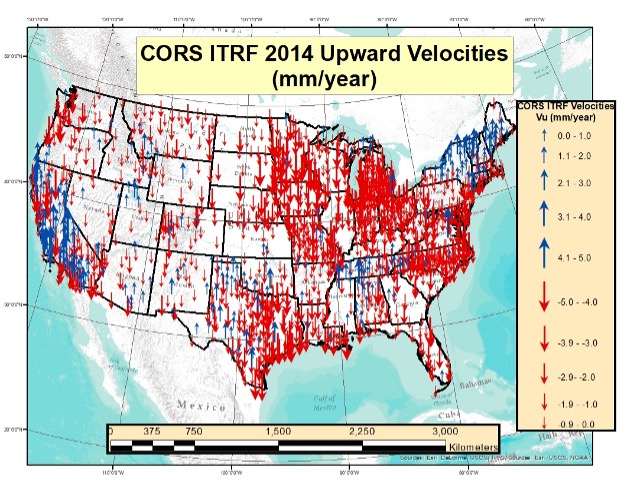
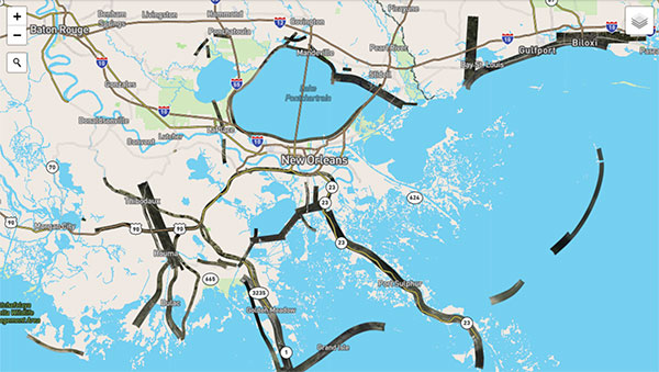
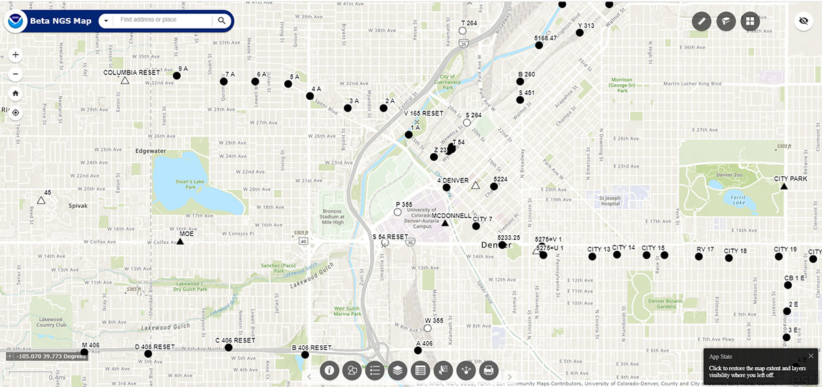
Only three years remain before release of the new, modernized NSRS. I encourage everyone to try all of the NGS beta products and download Dru Smith’s June 6 webinar for a better understanding of how the NGS will provide data to users in the new, modernized NSRS.
Read More


Follow Us