
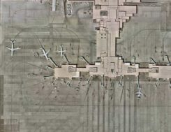
How aerial imagery helps protect natural resources
June 18, 2020
An upcoming GPS World webinar shows how high-definition aerial imagery can help protect and maintain natural resources. In Transforming […]
Read More
An upcoming GPS World webinar shows how high-definition aerial imagery can help protect and maintain natural resources. In Transforming […]
The ability to capture and evaluate truth on the ground through aerial imagery is an ever-growing industry, thanks […]
Aerial imagery company Nearmap has acquired technology and assets from Pushpin, a deep learning and analytics technology company […]

How have improvements in mapping data-collection advanced other PNT technologies? “Real-time positioning, navigation and timing (PNT) benefit from […]

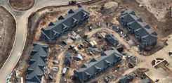
Government agencies are increasingly turning to high-precision aerial imagery to solve city-planning conundrums. Three recent case studies show […]

At the 2019 Esri User Conference in San Diego, Nearmap’s Tony Agresta discusses Nearmap 3D, which allows customers […]

Aerial imagery business Nearmap has launched its new 3D product to streamline the way industries such as urban planning, architecture, construction, […]
Taming a brave new world Nearmap Tony Agresta, Executive Vice President, Products We’ve all been there before: static on […]


Follow Us