Skip to content

TAG: NGS

Image: National Geodetic Survey

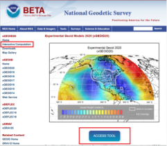
NGS releases beta tool for obtaining geodetic information

October 7, 2020

Auto Mining: A driverless Cat 793F CMD truck leaves an iron ore pit. (Photo: Caterpillar)

The expanded role of positioning through advancements in GNSS

September 14, 2020

Download the report.

New NGS study examines GIS surveys for airports

August 14, 2020

This article is tagged with , , , , , and posted in Latest News, Transportation
Figure 2 – Approximate Change Between NAPGD2022 and NGVD 29 Using GPS on BMs Data (units = cm). (Image: National Geodetic Survey)

NGS releases modernized National Spatial Reference System updates

August 5, 2020

Image: National Geodetic Survey

Why users will need to perform GNSS occupations as part of a leveling project after 2022

June 3, 2020

This article is tagged with , , , and posted in Opinions, Survey
Image: National Geodetic Survey

The differences between published Geoid18 and Geoid12B values in Southern Louisiana

April 1, 2020

Image: National Geodetic Survey

The differences between Geoid18 values and NAD 83, NAVD 88 values

February 5, 2020

This article is tagged with , , , , , and posted in Opinions, Survey
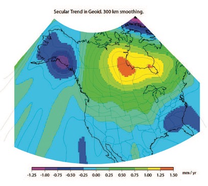
Figure 27: GRACE Trend over CONUS from UTCSR RL06 Model [mm/yr] (Source: Figure 27 from Technical Report NOS NGS 69)

How NGS can implement a time-dependent geopotential datum

December 4, 2019