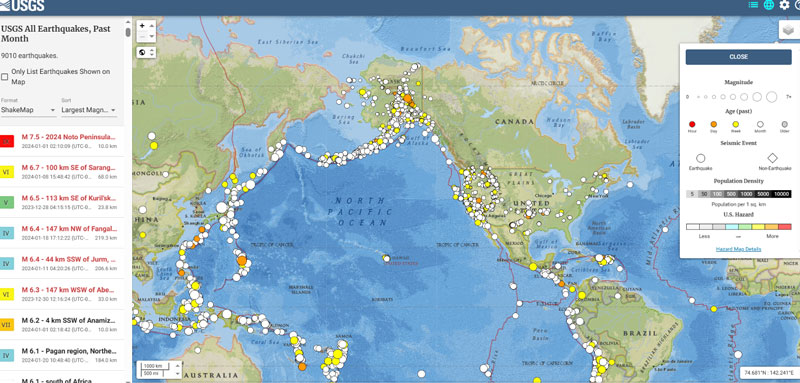
February 7, 2024 OSU grant proposal includes developing time-dependent models for the new, modernized NSRS By David B. Zilkoski
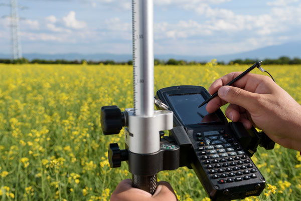
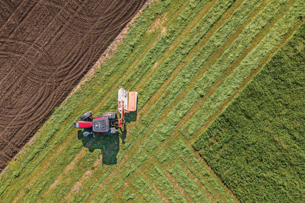
September 1, 2023 Seen & Heard: Invasive species vs. UAVs and protecting farms with GIS By Maddie Saines