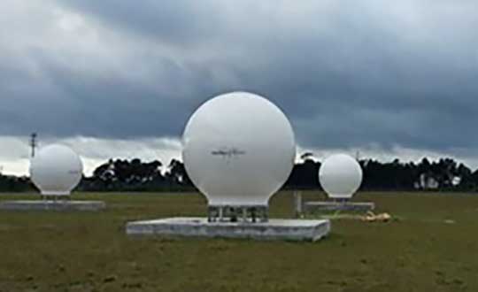
NOAA report supports GNSS-RO for weather and space forecasts
June 30, 2020
On June 26, the U.S. National Oceanic and Atmospheric Administration (NOAA) released the summary of the results of […]
Read More
On June 26, the U.S. National Oceanic and Atmospheric Administration (NOAA) released the summary of the results of […]
The COSMIC-1 program ended on May 1, when the last of six tiny satellites were decommissioned. The satellites […]
Dewberry has been selected by the National Oceanic and Atmospheric Administration (NOAA) for the agency’s Shoreline Mapping Services contract. […]
Atmospheric and Environmental Research Inc. (AER), a Verisk business, will license a satellite-data-processing system from the University Corporation […]
The U.S. House Committee on Science, Space and Technology has approved legislation to coordinate federal government space weather […]
A Tidal ShiftTraditional tide gauges are in contact with the water surface and as a result are susceptible to measurement error and damage during extreme weather. An alternative approach is the use of GNSS reflectometry. We learn how this innovative use of satellite navigation signals works in this month’s Innovation column.
This article includes National Oceanic and Atmospheric Administration (NOAA) undersea camera livestreams and an interview with an undersea expedition […]
Follow Us