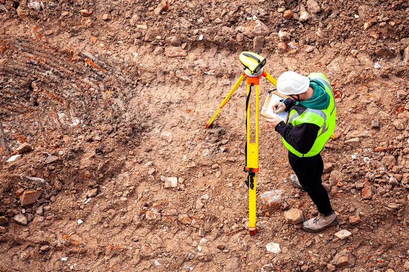
Science of geodesy and surveying: support progress report
April 5, 2023
In this month’s Insights column, Dave Zilkoski dives into the various methods of support that can be provided for the science of geodesy and surveying.
Read More
In this month’s Insights column, Dave Zilkoski dives into the various methods of support that can be provided for the science of geodesy and surveying.
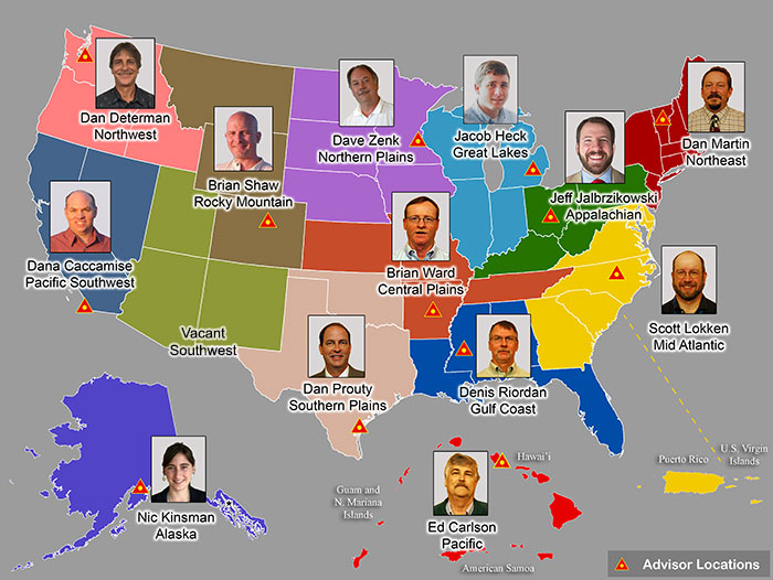
In January 2022, Mike Bevis and others prepared a white paper titled “The Geodesy Crisis,” documenting the concern about the lack of trained geodesists.
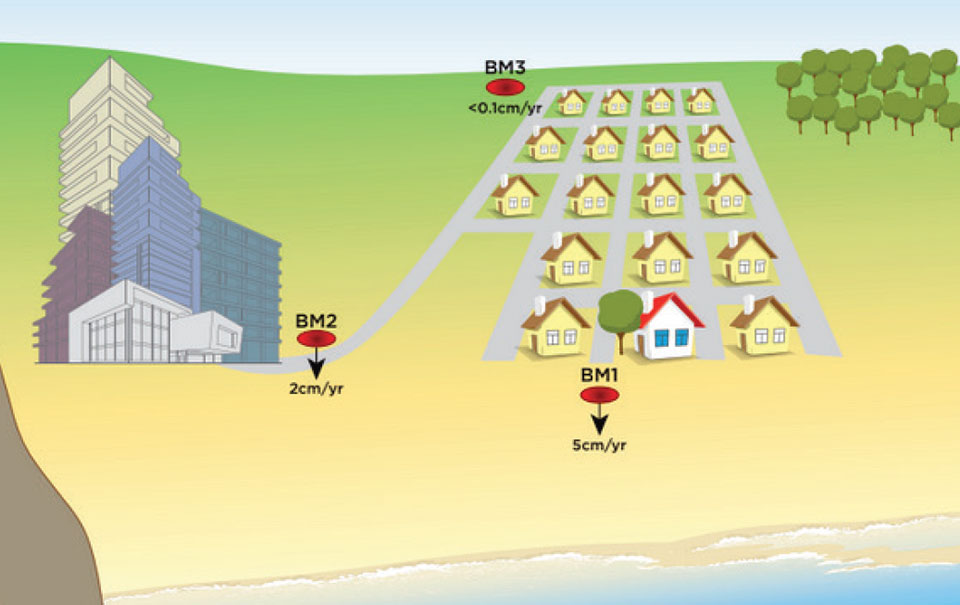
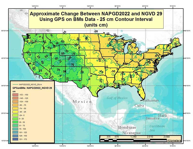
This column details the potential effects of crustal movement on published heights in various regions of the United […]
The National Geodetic Survey (NGS) has revised an important technical document on the modernized National Spatial Reference System […]
The National Geodetic Survey (NGS) recently announced two new items related to the modernized National Spatial Reference System […]

Time. Ask anyone what time means to them, and they will give you a different answer. Benjamin Franklin […]


Follow Us