October 14, 2025 NV5 to deploy Hexagon’s Leica CoastalMapper bathymetric lidar system By Jesse Khalil
April 4, 2023 NV5 Geospatial maps North American shorelines and riverine environments By Jesse Khalil
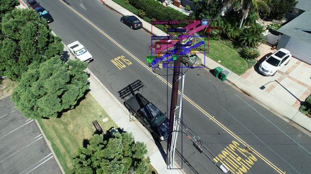
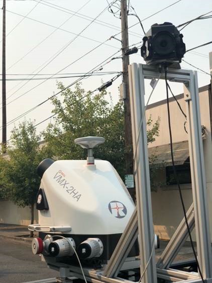
November 28, 2022 NV5 Geospatial uses remote sensing for utility distribution management By Tracy Cozzens