
Austrian team develops navigation system for divers
July 25, 2025
Buoys located via GNSS and electromagnetic signals enable divers to navigate underwater in a way that is gentle on the animals.
Read More

The Nippon Foundation—General Bathymetric Chart of the Oceans (GEBCO) Seabed 2030 Project has partnered with NORBIT Oceans, a […]
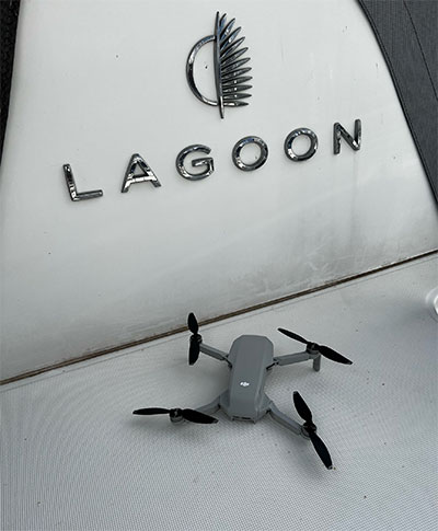
AnimaMundi Ocean Data Solutions, DJI and Lagoon are using drones to build a comprehensive database of plastic waste on […]
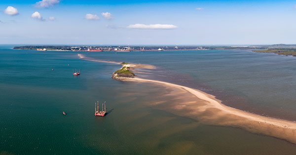
Fugro has completed a geotechnical site characterization project for DRA Global as part of the proposed expansion of […]
The Nippon Foundation-GEBCO Seabed 2030 Project and Kongsberg Maritime have entered a memorandum of understanding (MOU) in support of the global initiative to produce the complete map of the ocean floor.

The successful demo consolidates concept designs for a proposed land-sensing ESA Scout mission, HydroGNSS Surrey Satellite Technology Ltd. […]
Teledyne Marine has released the Z-Boat 1800-T unmanned survey vessel, equipped with Trimble’s high-precision GNSS heading receiver and […]

Raytheon will build the Geostationary Littoral Imaging and Monitoring Radiometer (GLIMR) sensor under a contract from the University […]
Follow Us