Teledyne Optech coastal and ocean monitoring helps with disasters
June 14, 2017
Coastal Zone Mapping and Imaging Lidar System (CZMIL) to be shared at conferences as a critical rapid environmental assessment […]
Read More

Coastal Zone Mapping and Imaging Lidar System (CZMIL) to be shared at conferences as a critical rapid environmental assessment […]

Last year, in a massive crowdsourcing effort, eight million volunteers from around the world sat at their computers […]

DARPA is looking for technology communities that can team to provide expertise and innovation for small sensors, expendable and small unmanned systems, and distributed communications and navigation technology.

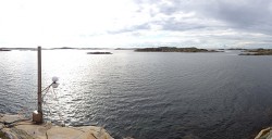
New Tide Gauge Uses GNSS to Measure Sea-Level Change A new way of measuring and monitoring sea level […]

A new way of measuring sea level using satellite navigation system signals, for instance GPS, has been implemented by scientists at Chalmers University of Technology in Sweden. Sea level and its variation can easily be monitored using existing coastal GPS stations.

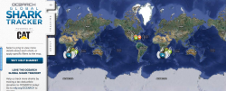
Did you just watch Jaws? Are you worried your trip to the beach might be interrupted by an […]

The Russian Federal Space Agency announced that the December 5 launch of three GLONASS satellites ended in failure when the Proton rocket’s Block DM upper stage and its three payloads crashed into the Pacific Ocean about 1,500 kilometers, or 932 miles, northwest of Honolulu, according to reports. Although an investigation will look into the exact cause of the failure, early unconfirmed reports indicate a software error.
Follow Us